
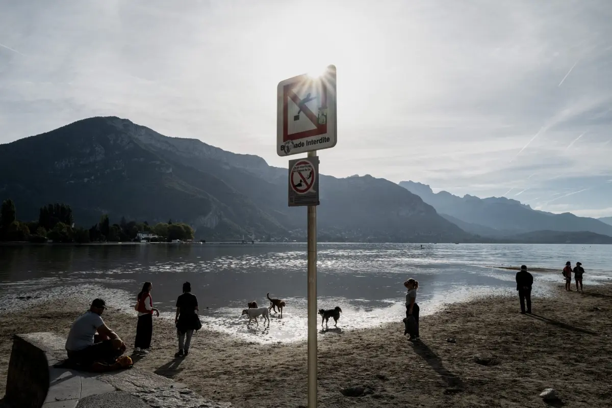
France is heading into October with depleted water resources after an exceptionally hot and dry summer. And the rainfall so far has done little to ease the situation.
September 2026 was the second-warmest and third-driest September recorded in France since records began, according to Météo-France. Rainfall was around 70 percent below the seasonal average, while the country's soil-drought indicator reached an unprecedented level for this time of year.
As a result, water restrictions remain in place across much of mainland France. According to government website VigiEau, 79 départements are currently under the highest level of water restrictions, known as crise.
READ MORE: EXPLAINED: How to check water restrictions in your area of France
 Water restrictions across the country on October 9th. (Map: VigiEau)
What do the various levels of water restrictions mean?
Level 1 - vigilance (pale yellow on the map). The first step is issuing a drought warning. This doesn't bring in any restrictions, but lets residents know that there is a risk of drought and restrictions could be introduced soon.
Level 2 - alert (orange). The lowest level of alert mainly concerns farmers, who must reduce their water usage by 50 percent. Watering of public green spaces such as golf courses is restricted, and for households, there are limits on car washing, while gardens can only be watered at certain times (usually evening).
Level 3 - alert renforcée (light red). Further restrictions on agricultural water usage and a total ban on household activities such as car-washing and watering lawns or flower beds (watering of vegetable gardens is still permitted during certain hours).
Level 4 - crise (dark red). Ban on all non-priority water usage. Households can use water for drinking, cooking and washing.
Communes at the crise level can impose other restrictions if the situation requires it - up to and including limiting the amount of water households can use per day. In extreme cases where the water runs out totally, local mairies are responsible for distributing drinking water to households.
In France, water restrictions are imposed by the municipality - rather than on a département level - and there are four levels, ranging from a 'warning' with no restrictions to 'crisis ', which is a ban on all non-priority water usage.
You can check to see if your area is under water restrictions by going to the French government website vigieau.gouv.fr and typing in your address. The website will inform you of what (if any) restrictions are in place, as well as offering government advice for how to decrease your water usage.
The situation also continues to affect drinking water supplies. On October 7th, the French environment ministry confirmed that 94,000 people in mainland France were affected by emergency drinking water supply measures, relying on alternatives such as water tankers or bottled water. A further 6.4 million people were living in areas where tap water distribution remained normal, but supplies were considered vulnerable.
READ ALSO: 94,000 people without tap water in France due to drought
Groundwater levels continue to fall
A lack of rainfall in September has worsened the situation for groundwater reserves across France, with 66 percent of monitoring points recording levels below seasonal norms in October 2026.
In its monthly update on Thursday, October 8th, the French Geological Survey (BRGM) warned that more than one in five monitoring points had recorded particularly low levels.
Locations in blue are considered to have average to above-average underground water levels, while those in orange and red do not have a sufficient level of groundwater.
 Groundwater level maps in October. (BRGM)
Although the summer's intense heatwaves did not necessarily have an immediate impact on groundwater, their continuation into September has raised concerns among specialists.
“Summer drought is part of the natural cycle of groundwater. What happens from now on will be decisive. If the drought continues, that is when groundwater levels will really start to fall. We now have low reserves, which makes us vulnerable in the future,” the BRGM said.
The situation is particularly concerning in parts of central and eastern France, including the Limousin region, the Morvan, the Livradois and Forez areas, the Vivarais, Champagne, the Jura, the Vosges and the northern Alsace plain.
There may still be an opportunity for reserves to recover over the coming months. Météo-France forecasts suggest a warmer but wetter period ahead, and further rainfall could help replenish the soil and groundwater.
However, specialists warn that rainfall alone may not be enough to replenish depleted reserves quickly. Groundwater is generally affected later than soil moisture, which has more immediate consequences for vegetation and agriculture.
The BRGM also noted that rising groundwater temperatures linked to climate change are unlikely to pose an immediate threat to drinking water supplies, adding that underground water remains relatively well protected.
Condition of small rivers and streams
The drought has also taken its toll on France’s smaller rivers and streams, with 1,424 waterways affected by reduced or completely halted flows as of September 1st, 2026.
In its most recent assessment, the French Office for Biodiversity (Office français de la biodiversité - OFB) said the summer low-water period continued between late July and late August.
Each month, the OFB publishes a map of flow conditions in small streams based on data from the National Low-Flow Observatory (ONDE), which relies on field observations made by OFB staff.
 River conditions in France in September. (OFB)
The most critical conditions remain concentrated along a corridor stretching from the Vendée, on the Atlantic coast, to the Grand Est region in eastern France. The situation has also worsened in Brittany, the Pays de la Loire and northern Nouvelle-Aquitaine.
The OFB described the situation as exceptional, with 30 more waterways dried up or experiencing interrupted flows than at the same time in 2022, and 290 more than in late August 2025.
On the map, the blue dots show where water is still flowing and visible to the naked eye, orange is where the water is still somewhat present with puddles instead of streams and the red dot shows where the water has evaporated.
According to the National Low Water Observatory (Observatoire national des étiages - ONDE), 50 percent of France's monitored rivers have visible water flow, but 42 percent are currently dry.
 River conditions in France (OFB)
The blue dots show a visible water flow, while the red dots show no water flow and orange dots show slightly visible water flow.
Compare the latest map to one from August 1st (below).
 The National Low Water Observatory map as of August 1st. (Map: Observatoire national des étiages)
Different types of drought
Scientists distinguish between three different types of drought, each affecting the country differently. The first is meteorological drought, which occurs when a region experiences significantly less rainfall than normal over an extended period.
This lack of precipitation, combined with high temperatures that increase evaporation, is often the starting point of a drought.
If the dry weather continues, it can lead to agricultural drought, when there is not enough moisture in the soil for crops, grass and other vegetation to grow properly.
This is the type of drought currently affecting many parts of France, where repeated heatwaves have dried out the upper layers of soil. Even if rivers and reservoirs still contain water, plants can struggle because there is insufficient moisture in the ground.
The most severe stage is hydrological, or hydrogeological, drought, which develops after a prolonged period of low rainfall. Hydrological drought refers to falling water levels in rivers, lakes and reservoirs, while hydrogeological drought affects underground aquifers that supply drinking water.
Because groundwater takes much longer to recharge than surface water, this type of drought can persist for months, or even years, after rainfall returns.
Comments